Bokor is the mountain you can see from the river on a clear morning: the long flat-topped ridge to the west with its head in the cloud. It is a national park, a French hill station from the 1920s, a Khmer Rouge holdout from the 1970s, and since 2012 a Sokha hotel and casino with a 99-year lease on the plateau. All of those are true at once, and the day trip is better if you know that before you go.
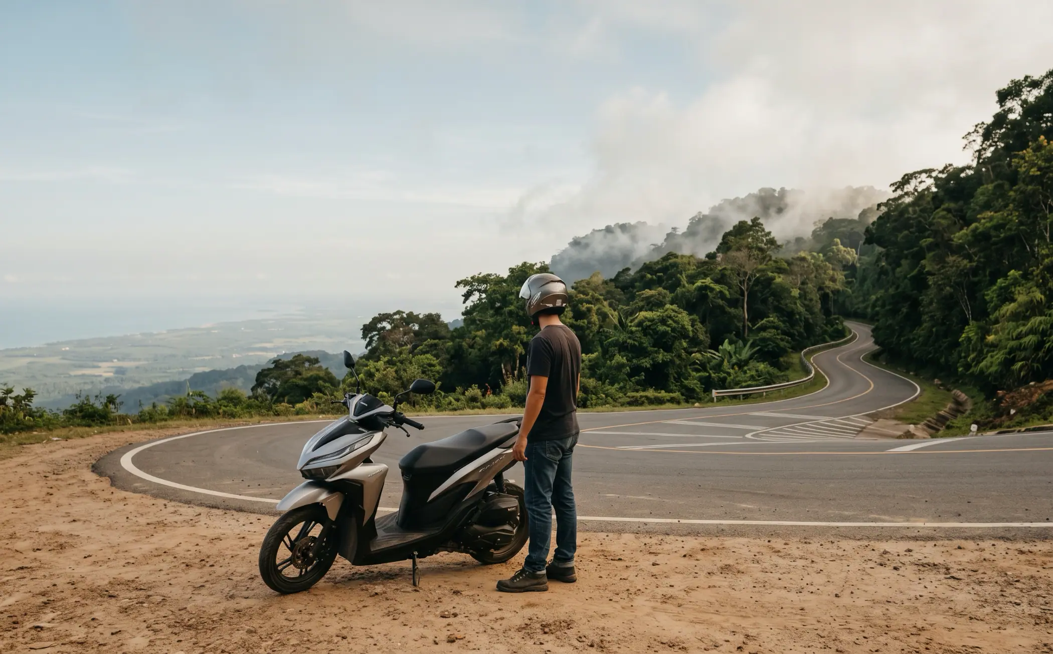
The ride is the point. Thirty-two kilometres of smooth, lightly trafficked, well-engineered asphalt from the foot of the mountain to the top, climbing a thousand metres through forest with the Gulf of Thailand opening up behind you at every other bend. On a scooter it is the best road in southern Cambodia, and the scooter guide says to rent a Honda Click or similar for exactly this reason: a semi-automatic 110 will get up, slowly, but an automatic 125 makes the climb and the descent a pleasure rather than a project.
Everything below was checked in October 2026 against the operators’ own pages, Google Maps and the most recent visitor reports; the things that could not be pinned down are said to be uncertain rather than guessed.
| Item | Figure |
|---|---|
| Distance, south end of town to Bokor Hill Station | 42km, about 1h 20 riding; 11km on National Road 3 to the turn-off, then 32km up NR32 |
| Lok Yeay Mao statue | 32km from town, 1 hour; the halfway landmark |
| Park gate | 2,000 riel for a scooter is the long-standing fee; many riders are waved through. Carry small riel |
| Popokvil waterfall | $0.50 / 2,000 riel per person, includes a bottle of water; 7.6km beyond the hill station |
| Fuel | Fill up on National Road 3 before the turn-off. No petrol station on the mountain |
| Weather | 15–25°C on the plateau, cloud common from late morning; clearest November to March |
| Half-day tour instead | $29–$45 per person from Kampot, 4–6 hours, minibus with pick-up |
The road
Leave town on National Road 3 towards the hospital and Sihanoukville. The turn-off for Bokor is on the right about 11km out, signed and unmissable: a wide boulevard with a gate complex. Fill up before you get there. There are petrol stations along National Road 3 on the way out of town, including a 24-hour PTT, and there is nothing on the mountain itself. A full tank on a Click is more than enough for the whole day with two people on board; the climb uses more than you expect, the descent almost none.
The gate is where the uncertainty starts. The official fee for years has been 2,000 riel for a motorbike and 10,000 for a car, and some riders in 2025 and 2026 report paying it and being asked for the ticket at a checkpoint further up. Others, in the same months, report being waved through without stopping. Have 2,000 riel in your pocket and let the attendant decide; either way it is fifty cents.
From the gate the road climbs in long sweeps rather than tight switchbacks for the first stretch, then tightens as the forest closes in. It is two lanes, properly cambered, with barriers on the drops and almost no traffic on a weekday: the odd minibus tour, a few other scooters, a lorry for the construction up top. The minibuses cut the corners. Hold your line on the right and do not ride the centre. Macaques sit on the barriers and in the road around the halfway point; they are used to vehicles and tour groups feeding them, which is a reason to keep your distance rather than stop.
About 32km from town, an hour into the ride, the road passes the Lok Yeay Mao statue, a 29-metre seated figure of the coast’s guardian spirit, built in concrete between 2010 and 2012 and facing out to sea. On a clear day the view from her terrace is the best on the mountain: the whole coastal plain, the salt fields, Kampot’s river mouth, Kep, and the islands beyond. Stop here on the way up, because the cloud often has the plateau by the time you come down. Across the road is the Black Palace, Damnak Sla Khmao, King Sihanouk’s 1936 mountain residence, now a shell with its roof and its views intact.
The final 10km to the hill station is the part everyone photographs: the road flattens onto the plateau, the forest turns to scrub and rock, and the cloud arrives in pieces.
What is on the plateau, ranked honestly
| Stop | From the hill station | Worth it |
|---|---|---|
| Lok Yeay Mao statue and the Black Palace | 10.5km below, on the way up | The best viewpoint on the mountain; stop on the ascent |
| Old Catholic church | At the hill station | Yes. The building and the cliff behind it |
| Bokor Palace | At the hill station | Look, don’t plan on going in: closed for reconstruction |
| Wat Sampov Pram | 2.8km | Yes, for the five rocks and the coast view behind |
| Popokvil waterfall | 7.6km | Yes from June to November; a trickle in the dry season |
| Thansur Sokha hotel and casino | At the hill station | A coffee and a toilet; otherwise a different trip |
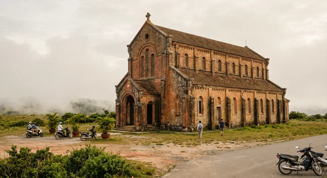
The church is the reason most people come and it holds up. Built by the French in the early 1920s, red brick, a plain nave, no roof to speak of inside and the wind coming straight through it, it sits alone on the scrub at the edge of the plateau and looks like it was designed for cloud. Walk round the back: the ground drops away to the plain, and when the weather opens this is where you see how far up you are.
The Bokor Palace is the big colonial hotel a few hundred metres away, opened in 1925, used until 1972, and for decades the most photographed ruin in Cambodia. Sokha restored it and reopened it as a 36-room hotel in 2018; it has since closed again. Google lists it as permanently closed, and Sokha’s own page says it is under reconstruction to become a museum of colonial architecture. In October 2026 you can look at it from outside, which is most of what there ever was to do.
Wat Sampov Pram, 2.8km from the hill station, was built in 1924 under King Monivong and takes its name, “five boats”, from the weathered rocks behind it that are supposed to look like a fleet. It is small, lived-in and colourful, with monks in residence, and the view from the rocks behind it over the coast is the one to compare with the statue’s.
Popokvil waterfall, 7.6km out along the plateau road, is the only stop with a fee, a car park, a proper restaurant and a crowd. Fifty cents a person, and the ticket is exchanged for a bottle of water at the shop. A two-tier fall over flat rock with a walking trail; in the wet season, roughly June to November, it is loud and full and worth the detour, and in the dry months it drops to a trickle that visitors describe as hearing rather than seeing. The restaurant is the practical lunch on the mountain.
The Thansur Sokha is the 564-room hotel and casino that the plateau was redeveloped for, open and taking bookings, with its pool and spa under renovation at the time of writing. It is useful for a coffee, a toilet and shelter if the rain comes in. The newer construction around it, apartment blocks and a half-built town, is the part of Bokor that visitors find strange, and the honest answer is that it is strange: a national park and a property development sharing a plateau. The old sights are still there and still free. Go for those.
Timing and weather
The plateau is a thousand metres up and it behaves like it. Sokha quotes 15–25°C and that matches what riders report: comfortable in a T-shirt at noon in the dry season, cold enough for a jacket in the cloud or after four, and genuinely cold on a wet-season afternoon. Take a layer and, from May to November, a rain jacket, because when the cloud becomes rain the road becomes a river and the descent is no fun at all.
The cloud is the variable that decides the day. It is usually clearest first thing and builds through the morning, which is why the right plan is to leave Kampot by 8am, be at the statue by nine, and have the church and the wat before the cloud closes in. November to March gives the best odds of a clear view; the rainy season gives the best waterfall and the worst visibility, sometimes down to a few metres on the plateau road.
Sunset from the cliff behind the church, around half past five, is a real thing and a tour-group thing. If you do it, you are riding 42km down a mountain road in the dark, with monkeys and unlit lorries. The road has some lighting on the lower stretch and none on the plateau. Either take a tour for the sunset or leave the plateau by four.
Riding it: the practical list
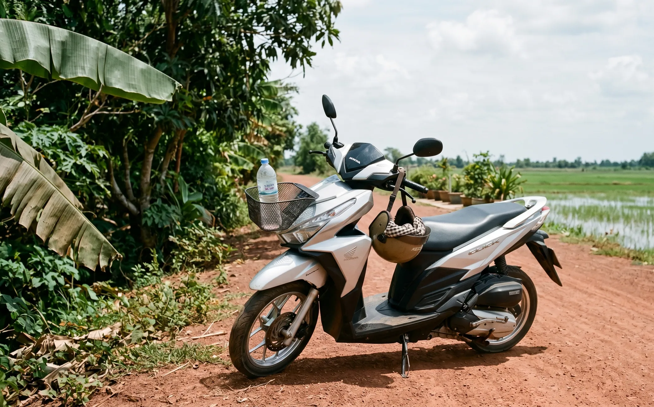
The bike. An automatic 125 - a Honda Click, Vario or similar - is the right tool, and the scooter guide lists where to rent one for $8–$12 a day. Check the brakes front and rear before you leave town, because the descent is 32km of them.
Fuel. Full tank on National Road 3. Nothing on the mountain.
Licence and insurance. The checkpoint at the gate is not a police check, but the road is a national road and the usual rules apply: carry the IDP, wear the helmet, and know that an accident without them is an insurance problem before it is a legal one. The scooter guide has the full picture.
Phone. Download the map offline. Reception on the plateau is patchy, and Google Maps routes work without it.
Food and water. Take water and something to eat; the waterfall restaurant and the hotel are the only options, and both are at the far end of the plateau.
The descent. Low speed, engine braking where the bike allows it, and brake early into the hairpins rather than in them. The surface is excellent, which is exactly when people overcook a corner.
If you would rather not ride. Half-day minibus tours from Kampot run $29–$45 a person with hotel pick-up, four to six hours, lunch sometimes included; the tuk-tuks will not take you up, and a private car for the day is $40–$60 depending on who you ask. Giant Ibis no longer lists a Bokor service, despite what older guides say.
The one-line version
Fill up, leave by eight, stop at the statue on the way up, see the church and the wat before the cloud, lunch at the waterfall if it is running, and be off the plateau by four. The ride is the day; the plateau is the excuse.