People arrive in Kampot, look at the river, and ask one of three questions. Is it clean. Can you swim in it. Why is it brown.
The short answers, before the long ones:
- It is a salt-water estuary at town, not a freshwater river. The tide comes up it twice a day from the Gulf of Thailand, five kilometres downstream. Brown is what estuaries look like.
- Do not swim at town. Not because of pollution, particularly - because of boat traffic, low visibility and current that changes direction with the tide.
- Swim at Teuk Chhou instead, eight kilometres north, where the water is fresh, cold and running over rock. That is where Khmer families go at the weekend, and they are right.
- The upstream river is dammed. Water gets released, the level comes up fast, and there is a siren. This is the part the guidebooks leave out.
- The colour is not the pollution. There is litter, and it is a real problem in places. But the brown is silt and tide, and the two get confused constantly.
Why it looks like that
The Praek Tuek Chhu comes off the Elephant Mountains - the massif that carries Bokor, the one filling your view to the west. It runs down through the countryside north of Kampot, past the villages and the pepper country, and reaches the Gulf of Thailand about five kilometres below the town.
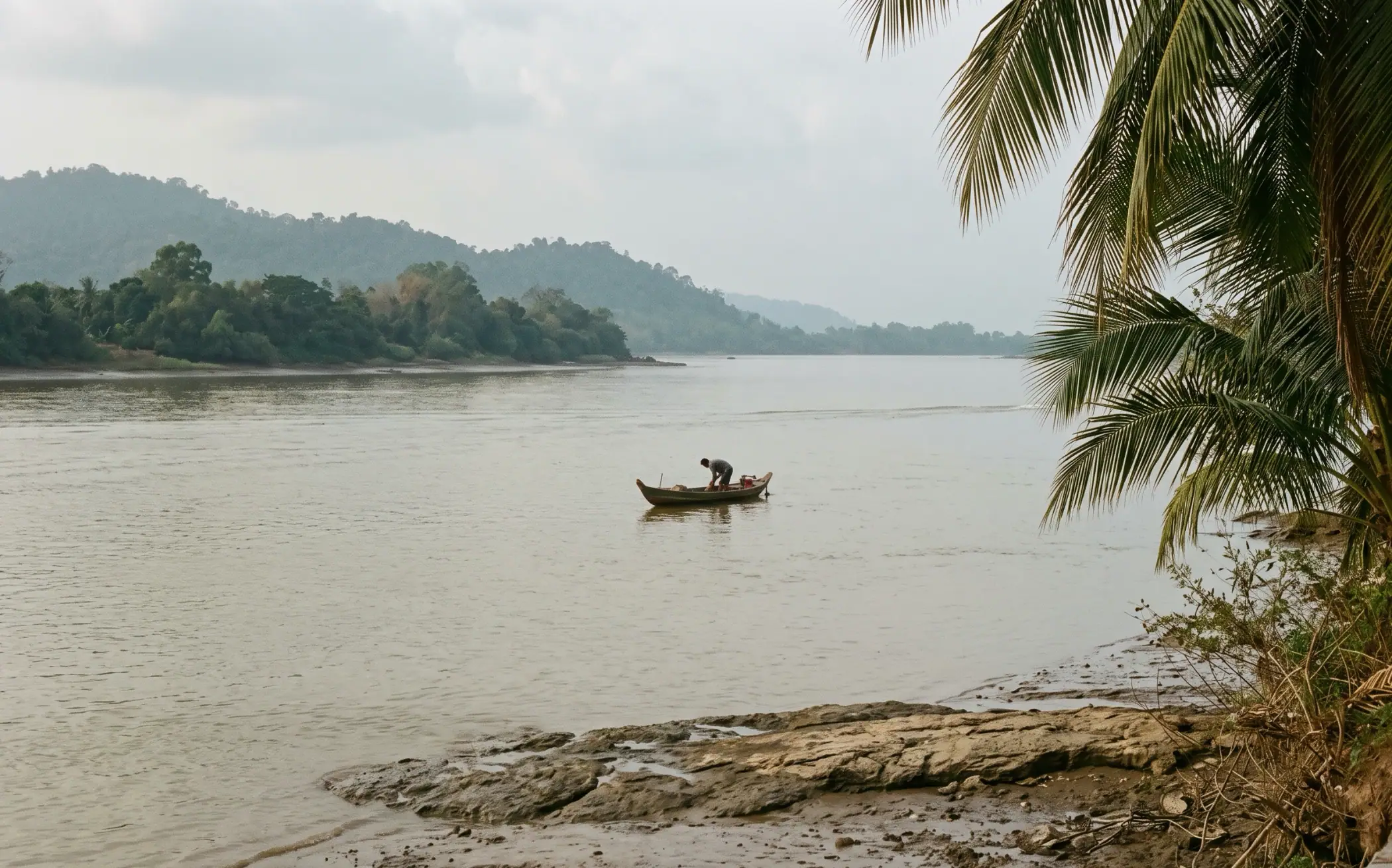
That last stretch is the part everyone sees, and it is not really a river in the way most visitors mean. It is an estuary. The sea pushes up it on the flood tide and drains back out on the ebb, twice a day, and the water at the old bridge is brackish for most of the year - fresher in the wet season when the mountain is pushing hard, saltier in the dry when it is not.
Which is why the brown. Estuaries carry suspended silt, stirred up twice daily by a tide moving in both directions over a soft bed. It is the same reason the Thames at Gravesend is the colour it is, and nobody thinks that is sewage. The river at Kampot is doing what estuaries do.
The salt industry east of town is the clearest proof of all this. Those shallow pans you pass on the Kep road are fed with sea water that comes up the system naturally. You cannot run a salt pan on a freshwater river.
Can you swim in it?
At town: you can, people do, and I would not.
The reasons are not mainly about water quality. It is that the main channel carries longtail traffic and tour boats, the visibility is close to nil so nobody sees you, and the current reverses with the tide - meaning the water that was carrying you gently one way an hour ago is now carrying you the other. Sunset is the worst time to try it, which is of course exactly when people do.
There is litter, and it is worst in the slower water and after heavy rain washes the drains out. Anyone who tells you the river is pristine is selling something.
Eight kilometres north, the answer changes completely.
Teuk Chhou: the end you can actually swim in
Teuk Chhou sits about 8km north of town, in Snomprampi village. Above the tidal limit the Praek Tuek Chhu is a different river entirely - fresh, cool, shallow, running clear over large rounded boulders. It is where Kampot goes on a Sunday. There are thatched huts along the bank to rent for the afternoon, food and drink, hammocks, and shallow pools between the rocks that children sit in for hours.
It is genuinely good, and it is not a secret - at weekends it is busy and Khmer, which is the best kind of busy.
River Park sits on the same stretch, about 10km out past the Kampot Zoo, and is a different proposition entirely: a zipline across the river, a rope course, inflatable obstacles, a floating bar, boats. The zipline is around $5 including the kit and a row back across. If you have teenagers, this is the version of the river they will want. If you came for the quiet, go further up the bank.
The dam, and the siren
Here is the thing almost nobody writes down. The river above Teuk Chhou is dammed, and water is released on a schedule that is not yours. When a release happens the level can rise very quickly. There is a siren that sounds before it.
If you hear it, get off the rocks and out of the channel. Do not wait to see whether it is serious. People treat the rapids as a benign picnic spot, which they mostly are, right up until the moment the river is a foot higher than it was.
There is no published schedule, and that is not an oversight you can work around - releases depend on the level in the dam and the time of year, so they can come at any hour. The siren is the only warning you get. Visitors describe it as loud and unmistakable, which is the one piece of good news in the arrangement.
Entry to the rapids area runs to about a dollar or two per person.
What it is like by season
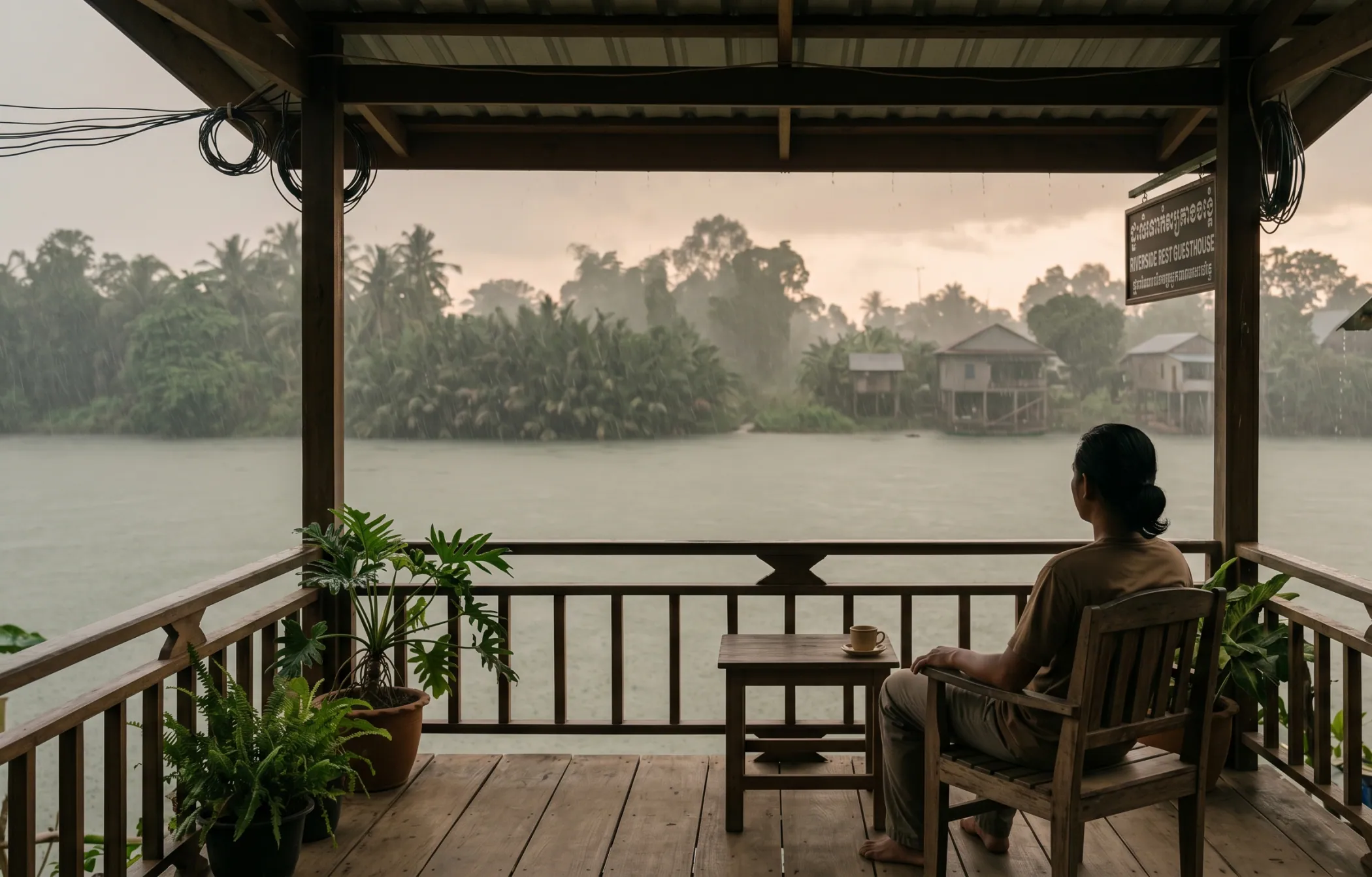
In the wet season, roughly May to October, the rapids actually run. The water is fast and loud, the pools are deep enough to matter, and this is the only time the stretch deserves the word rapids at all. It is also when the release risk is highest.
In the dry season, November to April, it is a gentle thing. The flow drops, rocks surface, and in March and April you may find yourself walking sections you could have floated in August. Still a lovely afternoon. Not whitewater. What the two seasons actually feel like is a longer conversation.
The Green Cathedral, and the loop
About five to six kilometres upstream of town, a narrow side-channel leaves the main river and runs through a tunnel of overhanging palm and riverbank vegetation that people call the Green Cathedral. It is the single most photographed thing on the river.
It is best seen from a kayak, slowly, and it has its own piece: kayaking the Green Cathedral loop covers where to hire, what it costs, how long the loop takes and how not to get lost in it.
Worth knowing from the river’s point of view: the loop sits in the transition zone. It is still tidal, it is quieter and shallower than the main channel, and the water in it is often clearer than the open river simply because there is less moving through it.
The river in town
The riverfront is the reason the town looks the way it does, and the reason people stay longer than they planned.
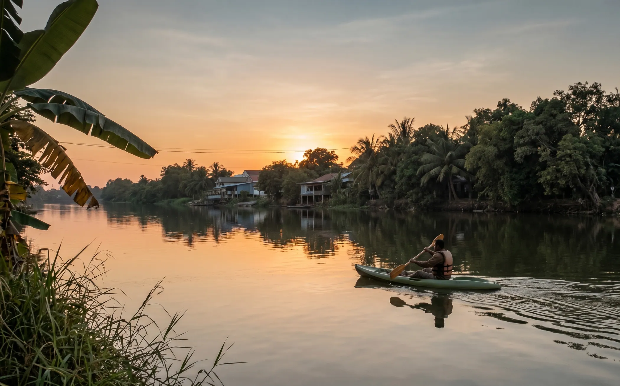
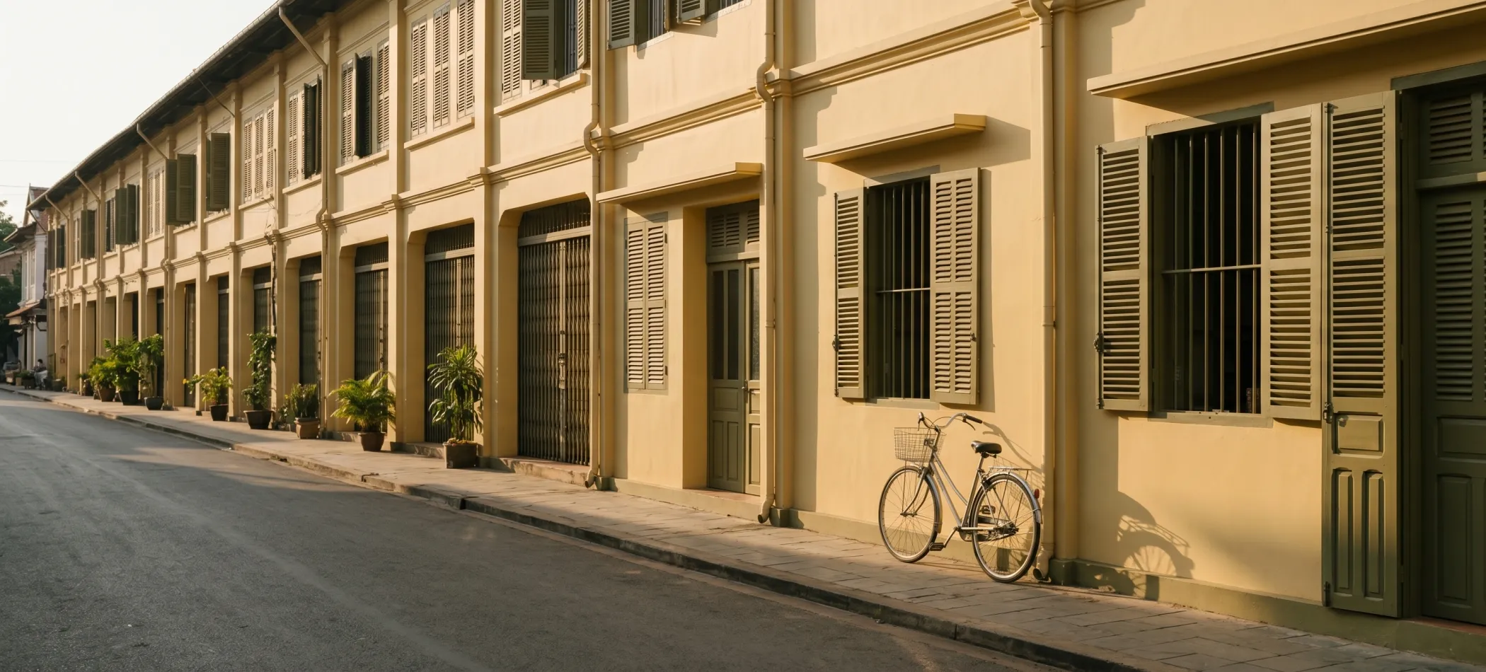
The practical geography: the old quarter sits on the east bank, the newer development and most of the bungalow places on the west and north. Two bridges cross it - the old French one, now pedestrianised and the better place to stand at sunset, and the newer road bridge carrying the Sihanoukville traffic. Fishing boats work the channel early and late. The light between about five and six in the evening is the thing people photograph, and it earns it.
If you want to be on the water without a paddle, the sunset boat trips leave from the town side in the late afternoon. If you want to be beside it, the riverfront restaurants and bars are mostly a row along the east bank with the mountain behind the view.
The one-line version
The Praek Tuek Chhu is a tidal estuary where you see it and a mountain river where you do not. The brown is silt, not filth. The swimming is upstream. And if you are standing on the rocks at Teuk Chhou and you hear a siren, move.